UP42
NOMINEE OVERVIEW
UP42 was founded in 2019 with a clear purpose: to provide quick and easy access to geospatial data and analytics. It provides access to the world’s leading providers of optical, radar, elevation, and aerial data, all in one place. The developer-first platform offers flexible APIs and a Python SDK to help build and scale solutions. Users can search the catalog for existing imagery, or task a satellite to capture a desired area. Whatever the use case, UP42 is the one-stop-shop for all geospatial data needs.
NOMINATION RATIONALE
1) BEST SOLUTION PORTAL
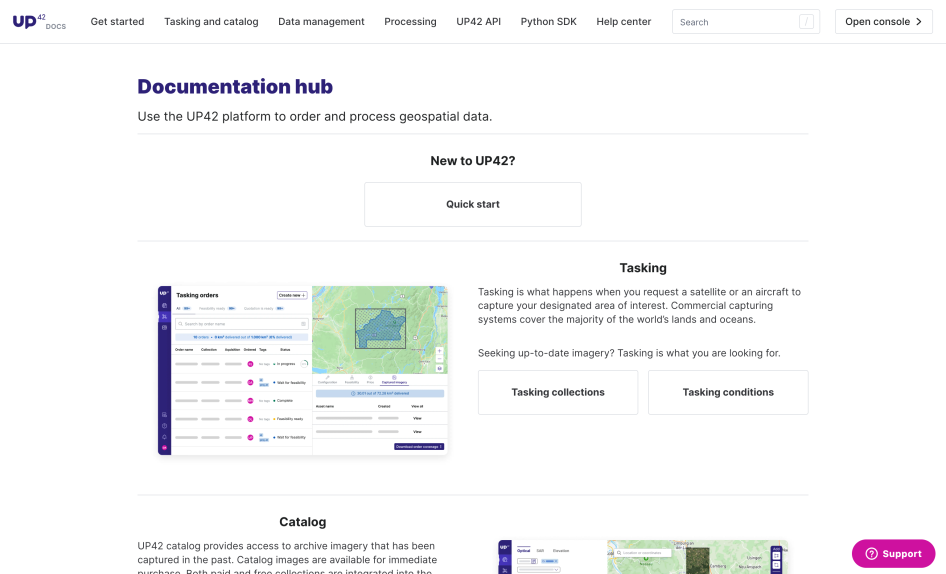
The Documentation hub guides users to the right type of geospatial data for their goal and technical level. Our users range from those without coding experience to experienced software developers, and from people who need ready-to-use data to those who can perform complex analysis and processing.
We use clear language, popular examples, and well-structured guides to explain our available usage methods: the browser-based console, the UP42 API, or our Python SDK.
2) BEST ONBOARDING EXPERIENCE IN A DEVELOPER PORTAL
The geospatial industry is full of complex language and niche terms. We explain and guide users through their experience, whether they’re new or experts.
Our portal provides a clear pathway to value, from the initial sign-up to a user's first successful result. We combine tutorials, code snippets, and hands-on examples to make onboarding clear and approachable.
3) BEST DEVELOPER PORTAL FOR DATA PRODUCTS
The Documentation hub was built with data products at the center, explaining our different data products and their subtypes. We present data collections with full visibility into their technical specifications, and whether they’re available for tasking (ordering new data) or catalog (buying existing data).